Posted by Melody on Monday, Nov 24, 2014
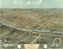
 Few places carry paper maps anymore. If you are looking for a map of Iowa City, you can turn to the Iowa Department of Transportation. They have a place on their website where you can look for maps of Iowa cities and counties. From this webpage, click the "City and county maps" link, and then find Johnson County. Clicking on the Johnson County shape takes you to where you can choose between Iowa City, Coralville, and North Liberty. Clicking on the name of the city will bring up a PDF that you can then see all of the roads in one view.
If you really wanted to see the whole thing on paper, you can print it on 25 different pages (Print -->Page Size/Handling-->Poster). Of if you are in the neighborhood of the Johnson County Administration Building during business hours, you can try to stop in to see if they have what you're looking for. The Assessor's Office should have a small map at the very least.


One of my desert island albums. A must-listen for bossa nova lovers. Fun dancing beats and romantic melodies. -Melody